Newest Hikes & Adventures
-
Morro Rock Morro Bay State Park

-
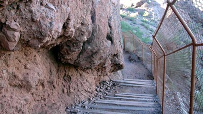
Hulk Steps Stair Running Workout

-
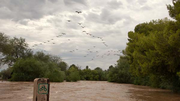
Greenbelt Flooding Indian Bend Wash
-
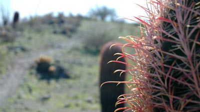
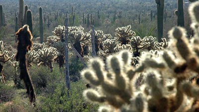
Bell Pass McDowell Sonoran Preserve
-
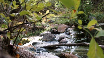
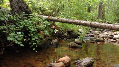
Horton Creek Loop Tonto National Forest
-
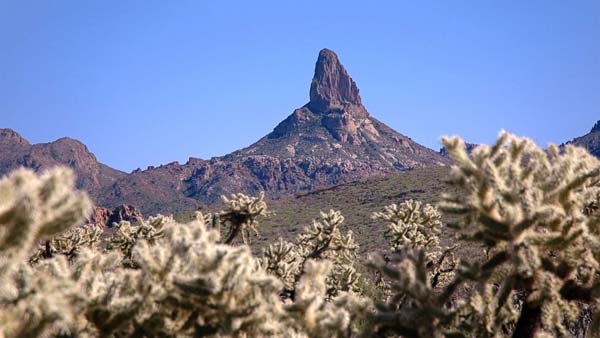
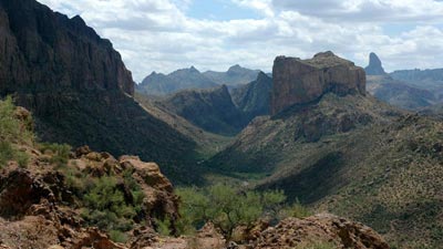
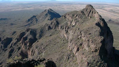
Weaver's Needle Loop Superstition Wilderness
-
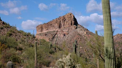
Black Top Mesa Superstition Wilderness
-
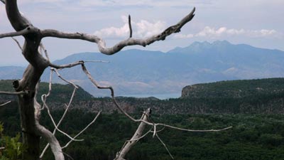
Abbey's Way Trail Sierra Ancha Wilderness
-
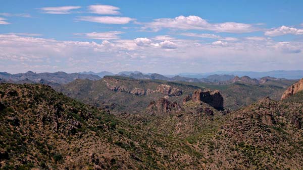
Boulder Canyon Loop Superstition Wilderness
-
Boulder Canyon Trail Superstition Wilderness
-
Camelback Mountain City of Phoenix
-
East Fork Trail Apache-Sitgreaves National Forest
-
Flume Trail Fossil Springs Wilderness
-
Gold Ridge Trail Tonto National Forest
-
Hidden Valley Loop South Mountain Park

-
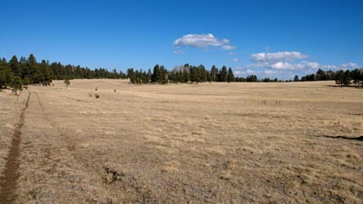
Humphreys Peak Kachina Peaks Wilderness

-
LaBarge Canyon Loop Superstition Wilderness
-
Little Saddle Mountain Trail Mazatzal Wilderness
-
Lower Soldier Camp Trail Four Peaks Wilderness
-
Pass Mountain Usery Mountain Regional Park
-
Picacho Peak Picacho Peak State Park
-
See Canyon Trail Tonto National Forest

-
Webber Creek Tonto National Forest
-
Western South Mountain Loop South Mountain Park