Flume Trail (154)
Fossil Springs WildernessDistance: 4.7 | Total Elevation Gain: 1180

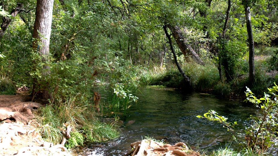
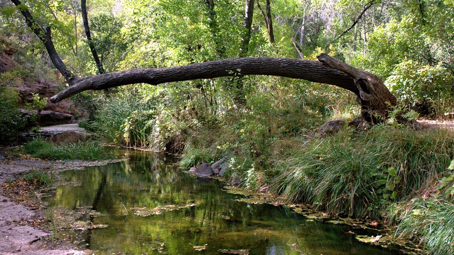
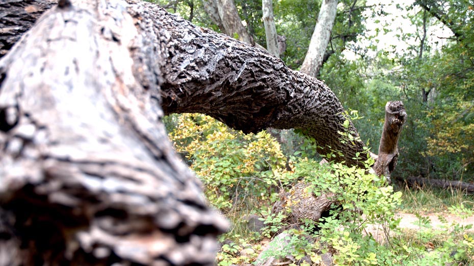
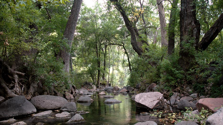
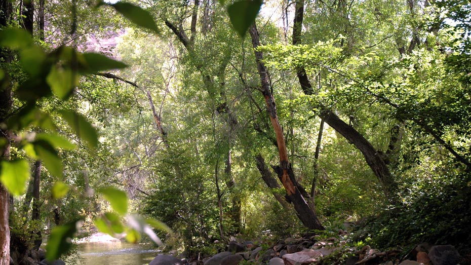
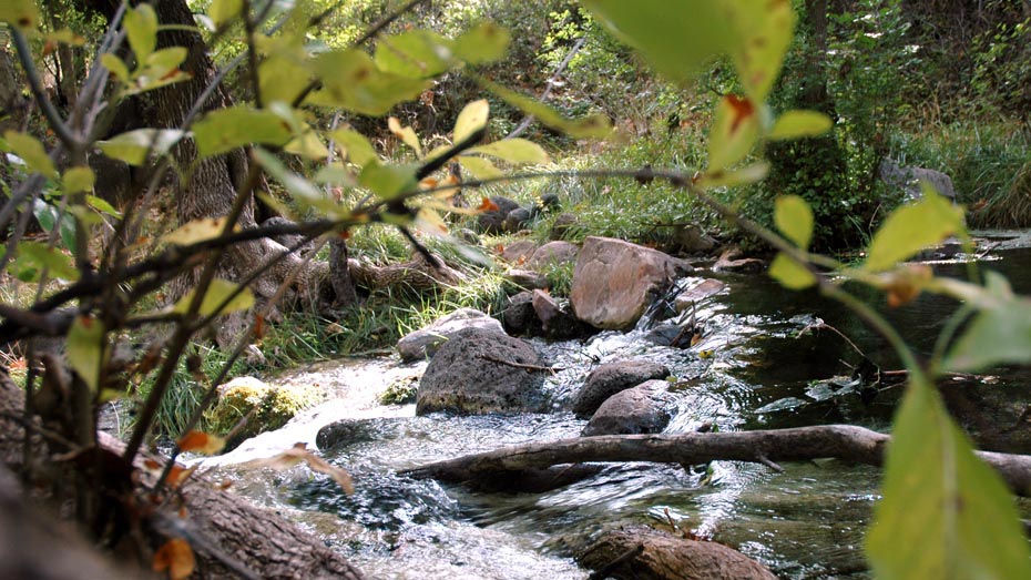
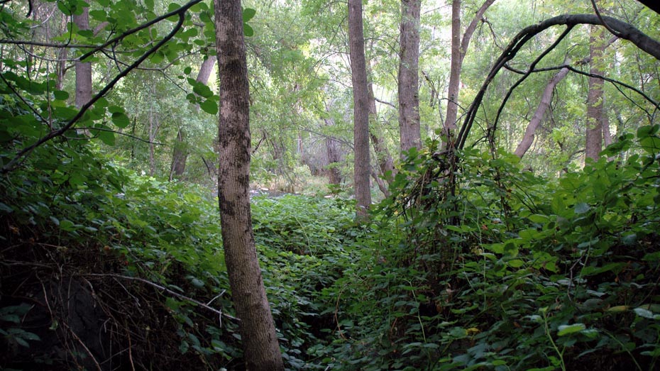
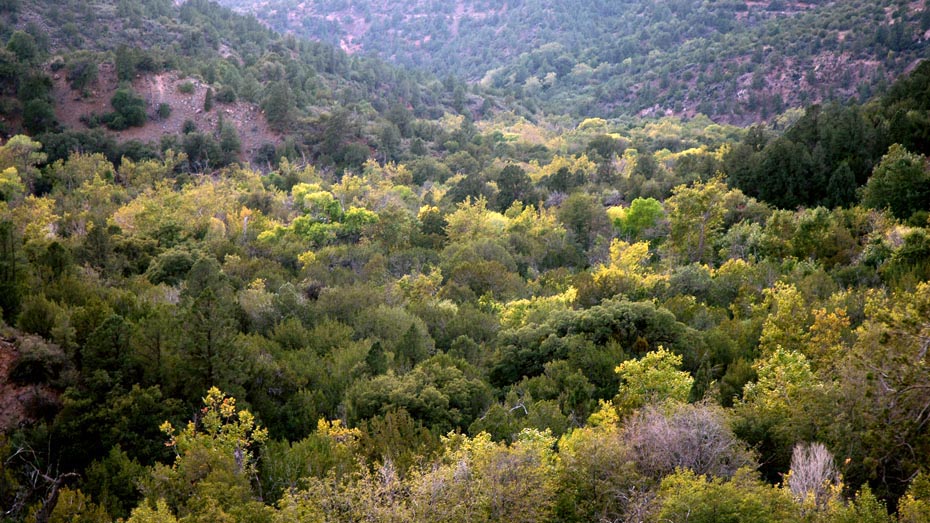
Although now closed to motor vehicle use, this trail follows the remains of an old dirt road originally used to service a dam, several miles upstream from the now-disassembled Irving hydroelectric power plant. Minimal elevation change and a wide, smooth surface make this a fast hike, while the dense, lush greenery of the creek and spring area reward the effort with a shaded reprieve from the desert above.
Curiously, about two and a half miles into this easy hike, a 20 ft. section of the trail offers a hint of adventure, requiring the use of a provided rope. It is not unsafe, simply steep and slippery, and the rope makes the decent more secure. Fossil Springs Trail is the more popular route to the springs, but those unprepared for the 1,300 ft. climb back out of the canyon might prefer the ease of the Flume Trail.