Gold Ridge Trail (47)
Tonto National ForestDeer Creek Trail (45), Gold Ridge Trail (47)
Distance: 6.0 | Total Elevation Gain: 3080

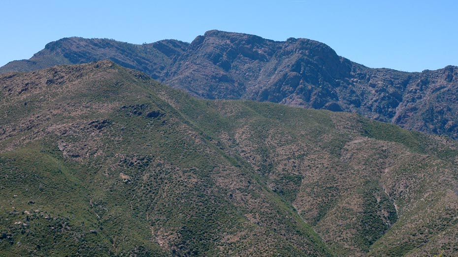
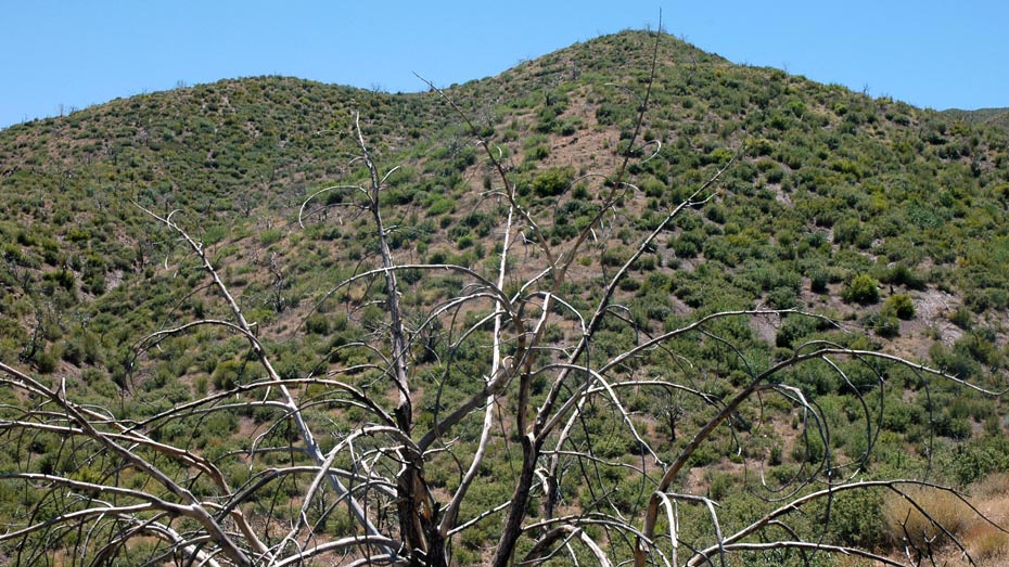
Easily accessed from the Deer Creek trailhead, the Gold Ridge Trail aggressively ascends a ridgeline, climbing from open desert to hilltop pines over 2,600 feet above.
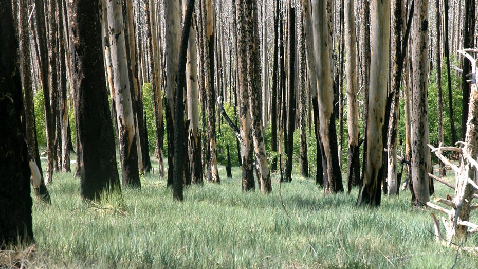
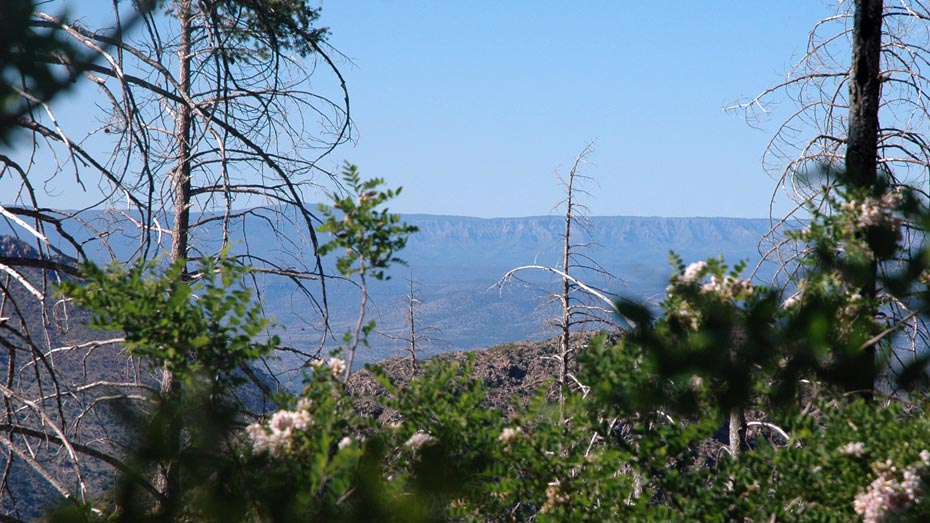
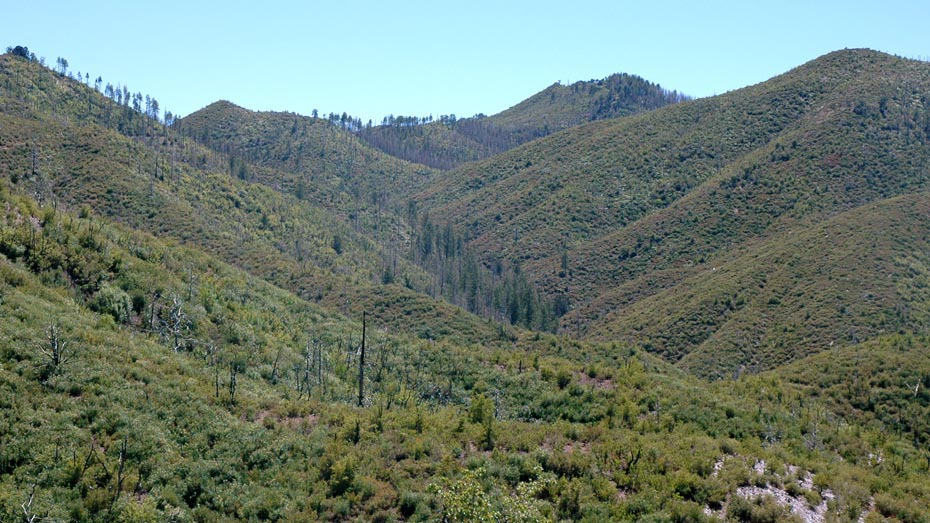
After briefly following the Deer Creek Trail, the path turns southwest, gently climbing through low desert hills. As the trail becomes steeper, views of the Mogollon Rim begin to appear, eventually dominating the northern horizon. Just after the halfway point, the climb becomes more moderate, winding against the northern face of the ridge through a few overgrown sections.
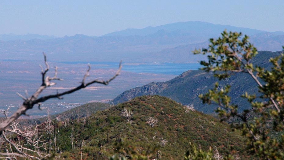
The route ends on a shady hilltop overlooking a portion of the Mazatzal Mountains to the north, but can be used as part of a larger loop with the Deer Creek Trail or the South Fork Trail.