Abbey's Way Trail (151)
Tonto National ForestDistance: 1.7 | Total Elevation Gain: 890

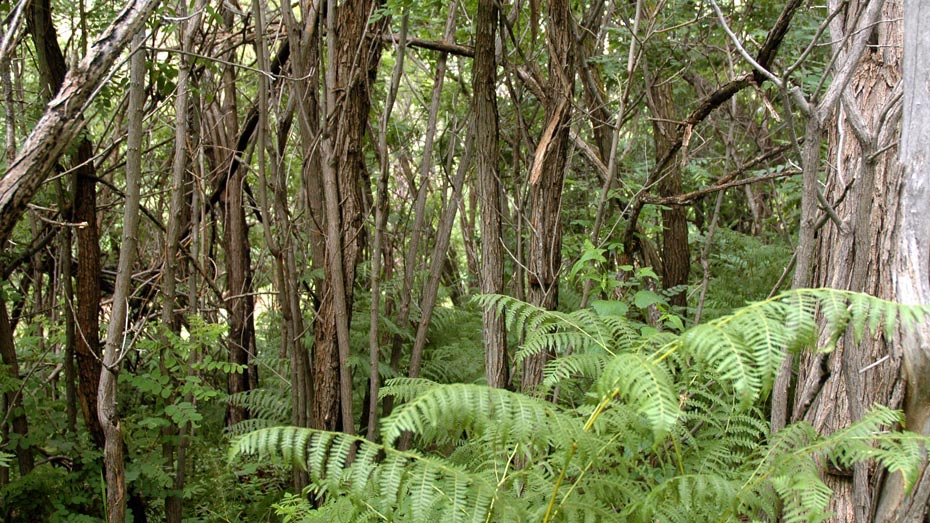
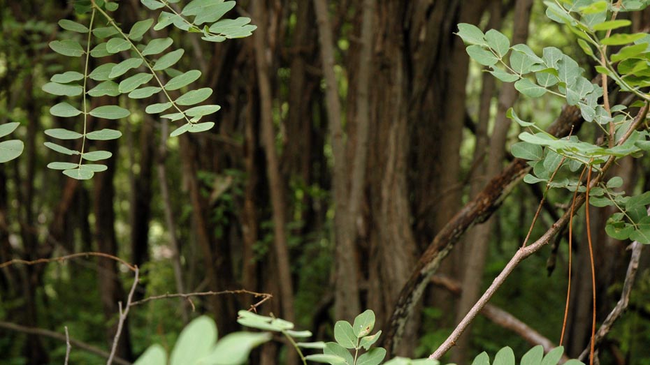
Out of the small basin above Workman Creek Falls, Abbey’s Trail climbs the western slope of Aztec Peak, the highest point in the Sierra Ancha Mountains. The trail begins from forest road 487 about a half-mile southeast of Workman Creek Falls, first passing around the edge of an open meadow area before turning east toward Aztec Peak. The elevation gain is steady including a few long switchbacks toward the top of the trail, but many sections can be overgrown.
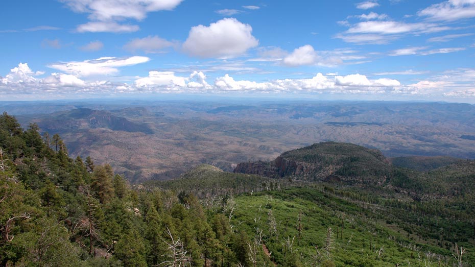
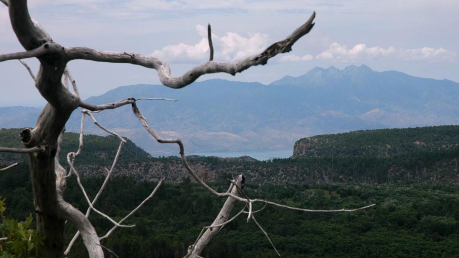
The steeper southern slope of Aztec Peak makes its most expansive views of the southeast, including the Salt River Canyon Wilderness, but a small glimpse of Roosevelt Lake and the Four Peaks above are visible to the west. Following forest road 487 down from the peak and back to the trailhead makes a convenient loop hike and passes by several other area trailheads for more exploring.