Lower Soldier Camp Trail (84)
Four Peaks WildernessDistance: 2.2 | Total Elevation Gain: 1230

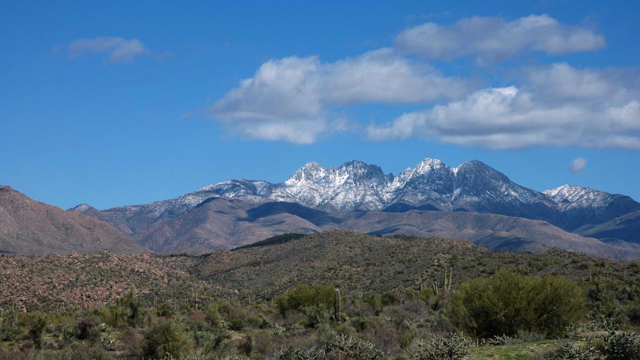
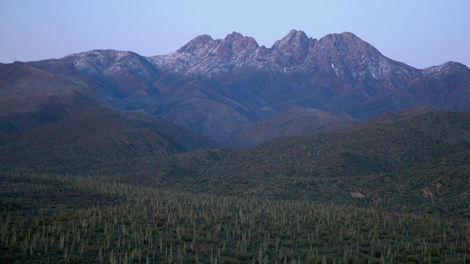
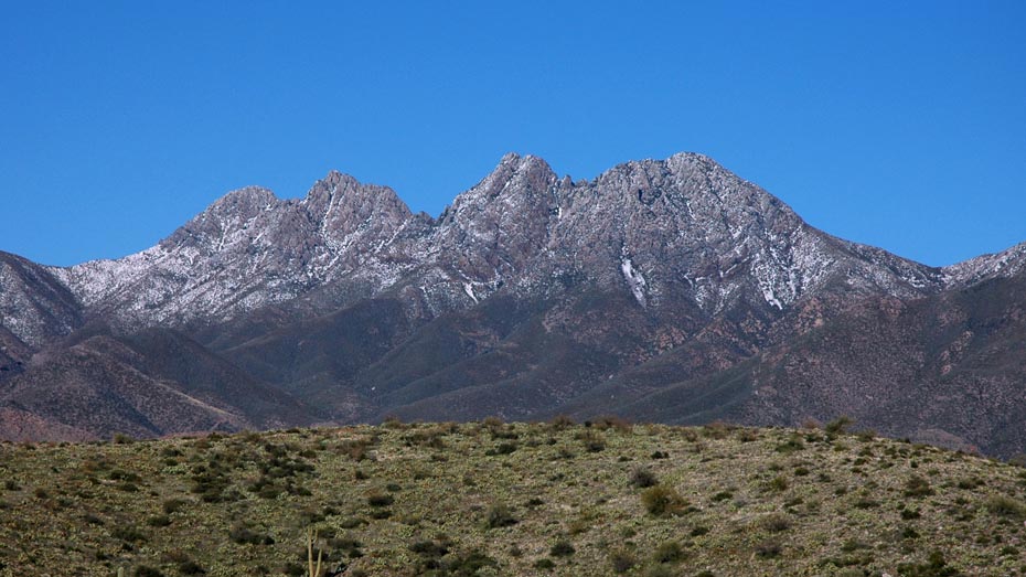
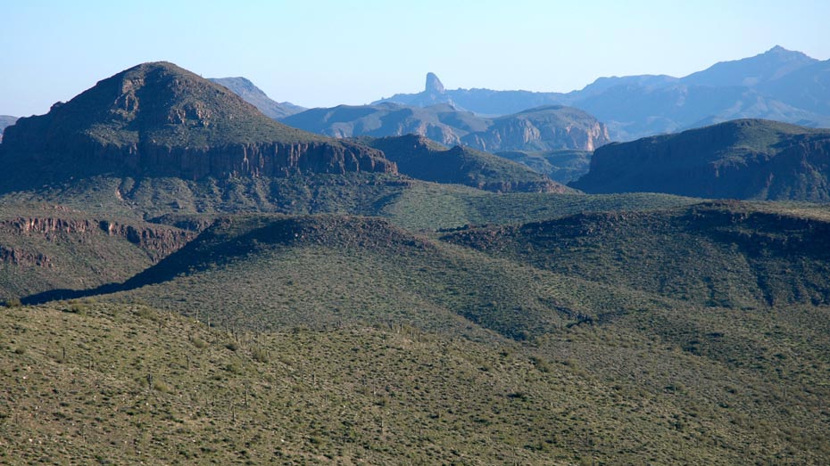
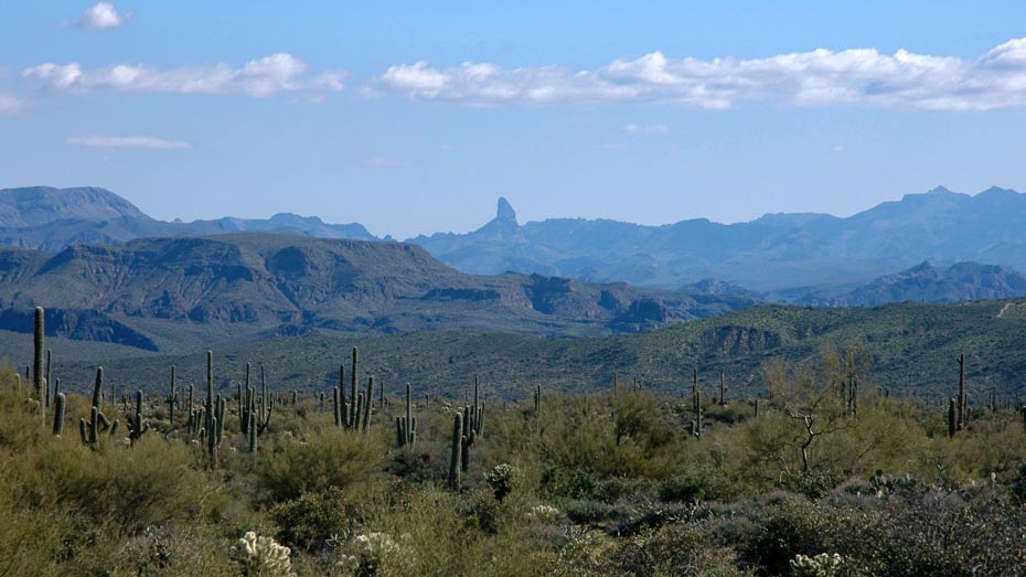
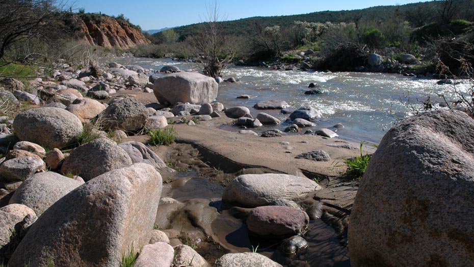
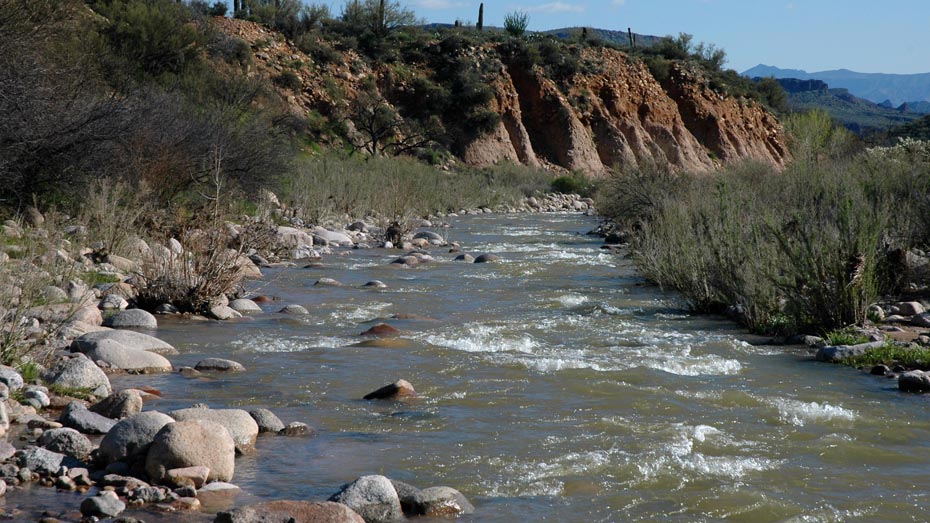
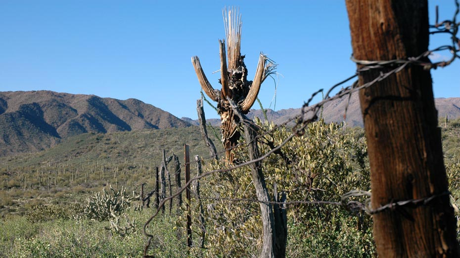
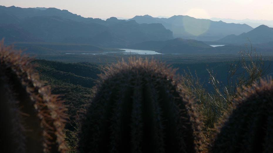
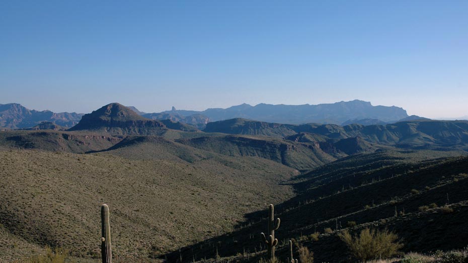
Short distance, easy access, and a nice climb make the Lower Soldier Camp Trail a great introduction to the Four Peaks Wilderness. Views of the rocky peaks open up around every turn and over every ridge, exhibiting a striking contrast to the desert valley. From the well-used parking area just west of the wilderness boundary, the trail begins immediately on the east side of Cottonwood Creek which may require shallow wading to cross, depending on the season.
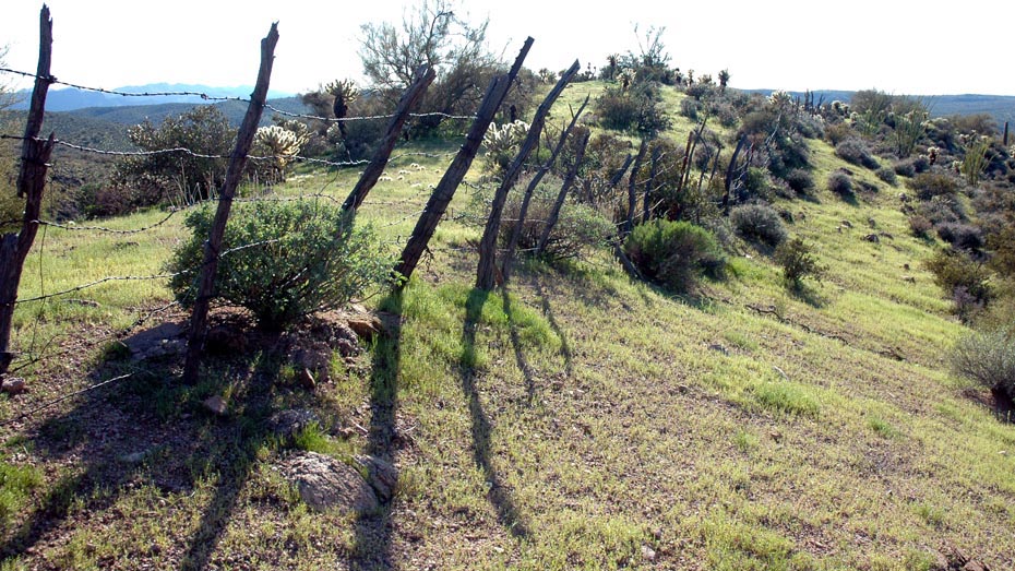
The first half of the route loosely parallels a sandy wash before a short climb to an adjacent ridgeline. From there the second half follows the ridge, climbing steadily for the remaining distance to the intersection with FR 401. The road can connect with several other trails to the east or form an easy loop route south and then west about 3 miles back to the trailhead.