East Fork Trail (95)
Apache National ForestDistance: 7.5 | Total Elevation Gain: 1470

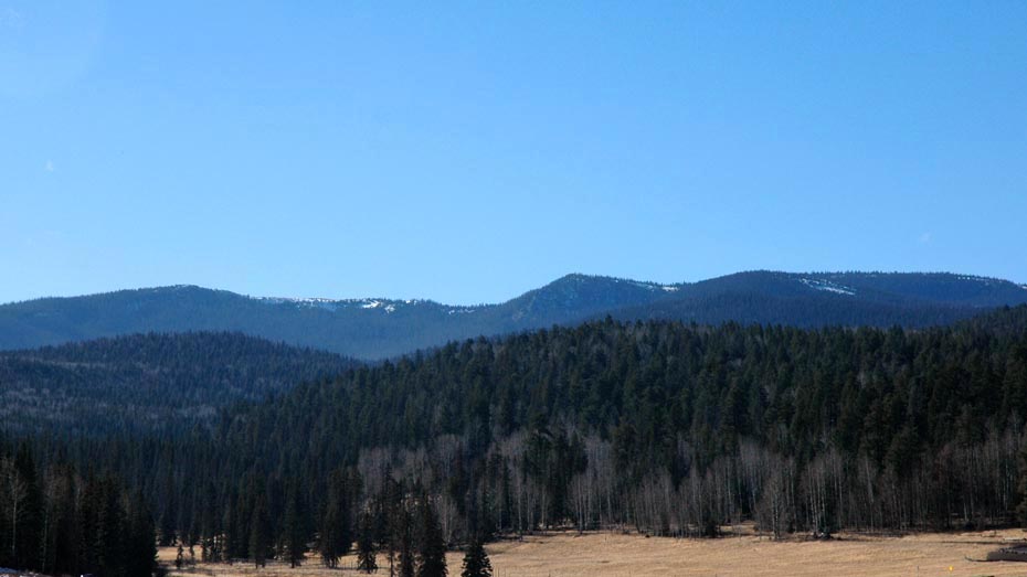
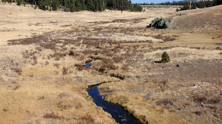
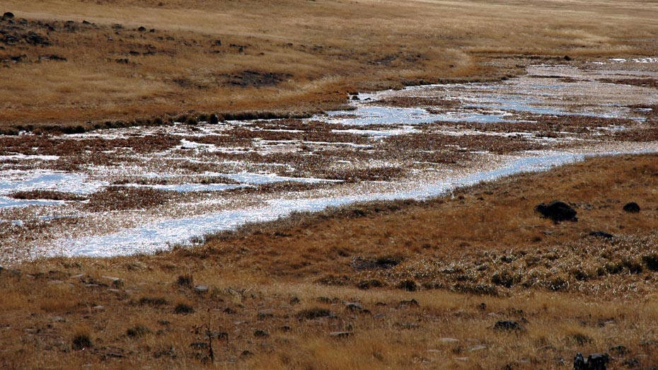
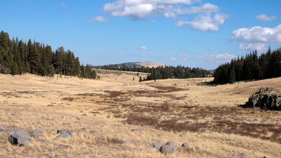
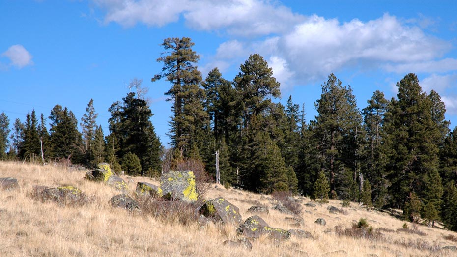
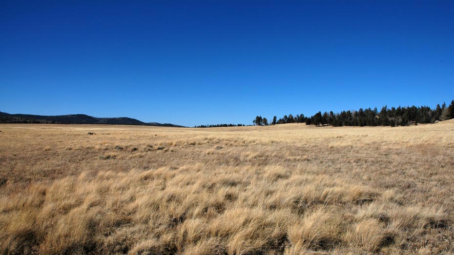
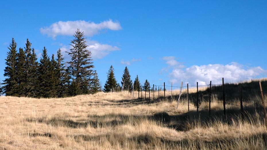
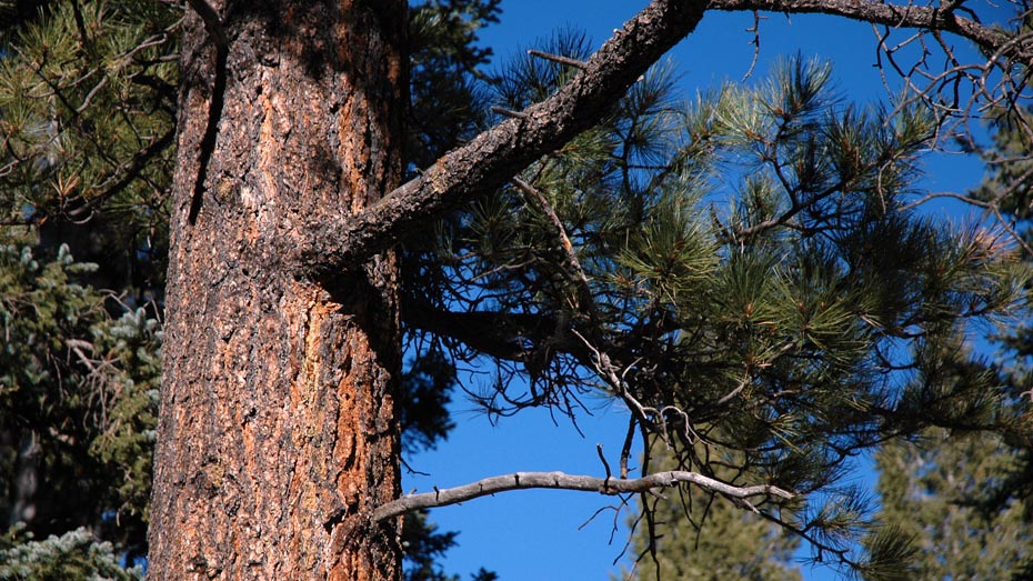
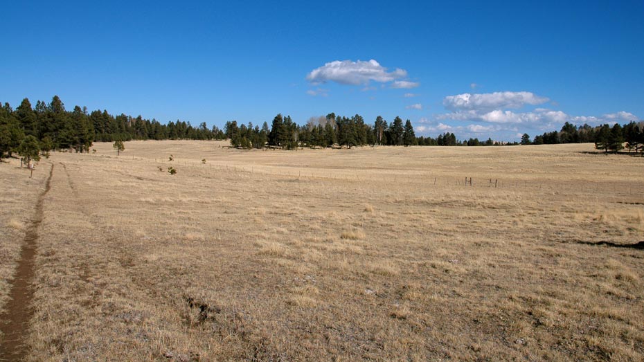
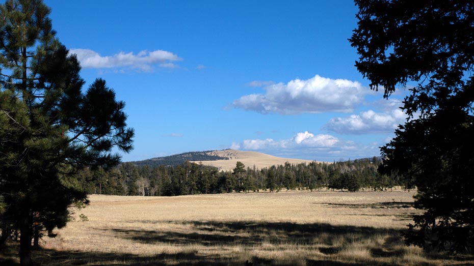
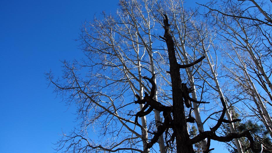
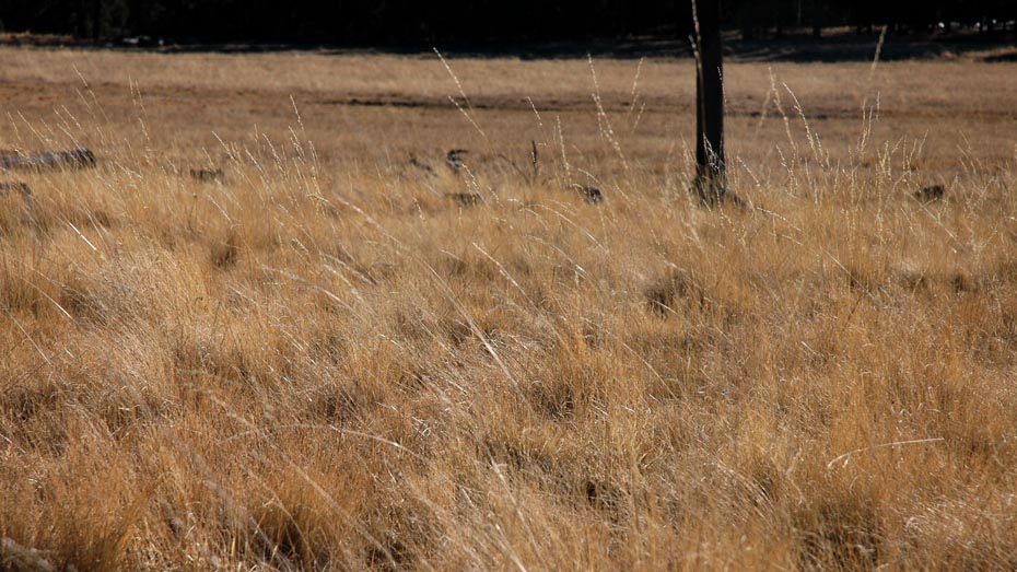
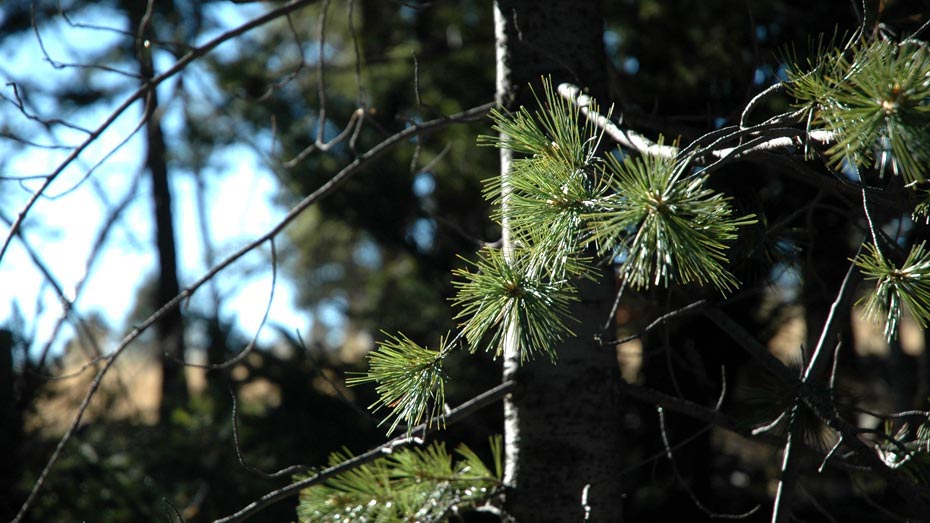
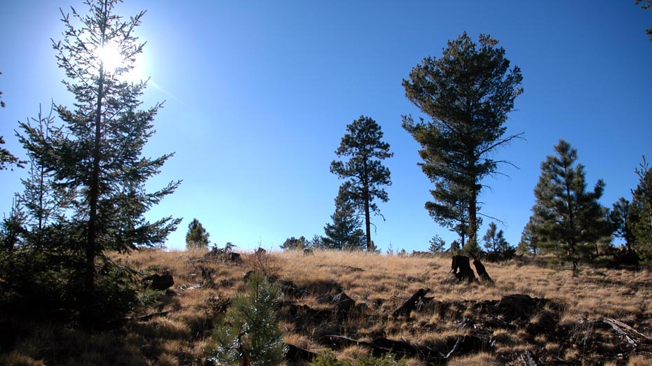
Although dotted with signs of civilization, the majority of this route is a celebration of solitude. Traveling in and out of forest and rolling meadows, the East Fork Trail is the first half of trail 95, which continues as the East Baldy Trail, eventually joining trail 94 just below the ridge of Mount Baldy. Starting from Greer, the route begins by crossing the West Fork of the Little Colorado followed by a 650 ft climb over the first mile, continuing at a very comfortable grade for the remaining distance. Shortly after crossing the East Fork of the Little Colorado, about a mile north of highway 273, the trail converges with the Railroad Grade Trail (601) before splitting again at the road.
This is a popular hiking path in the area, but consistently abundant evidence of elk suggests hikers may represent a minority of the trail’s traffic. Elk sightings are likely, but keep an even sharper eye out for pheasant on the forest floor.