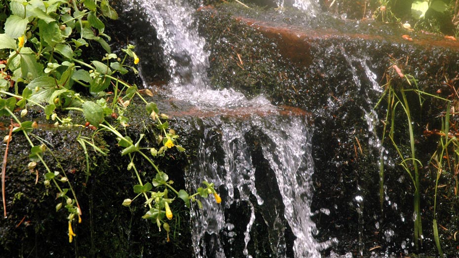
Webber Creek
Tonto National ForestHighline Trail (31), Geronimo Trail (240), East Webber Trail (289)
Distance: 5.1 | Total Elevation Gain: 1590
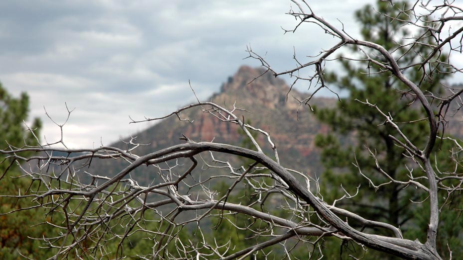
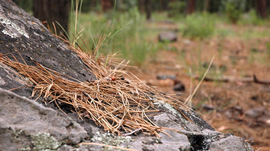
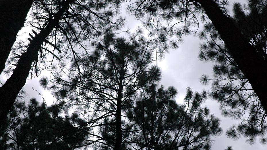
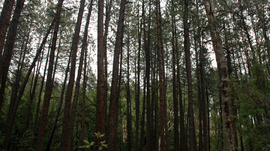
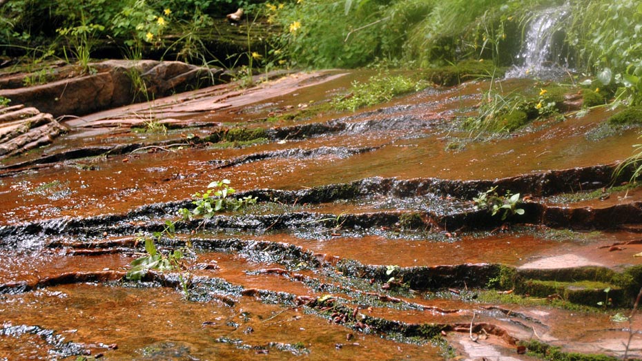
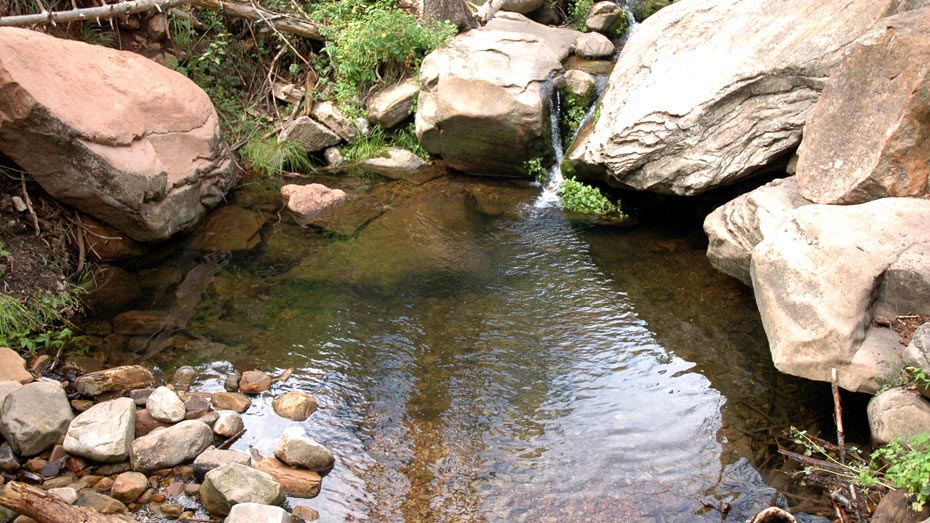
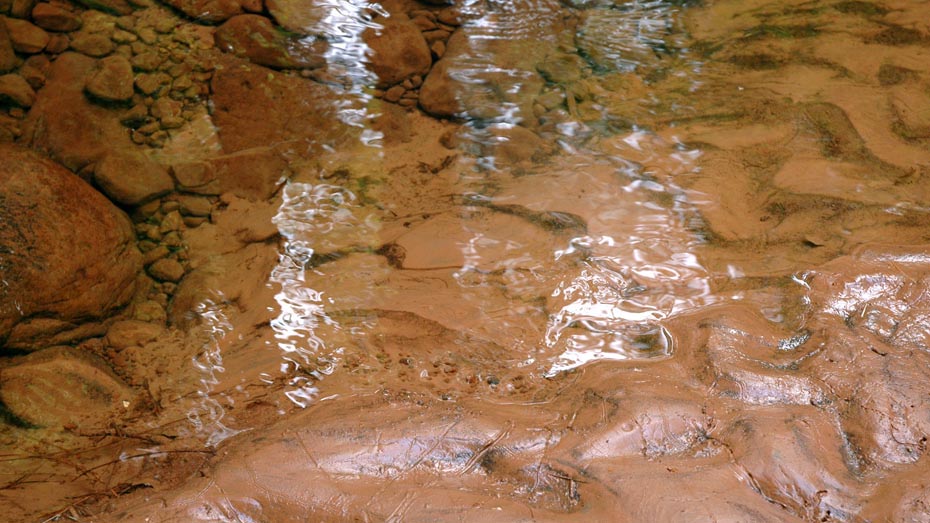
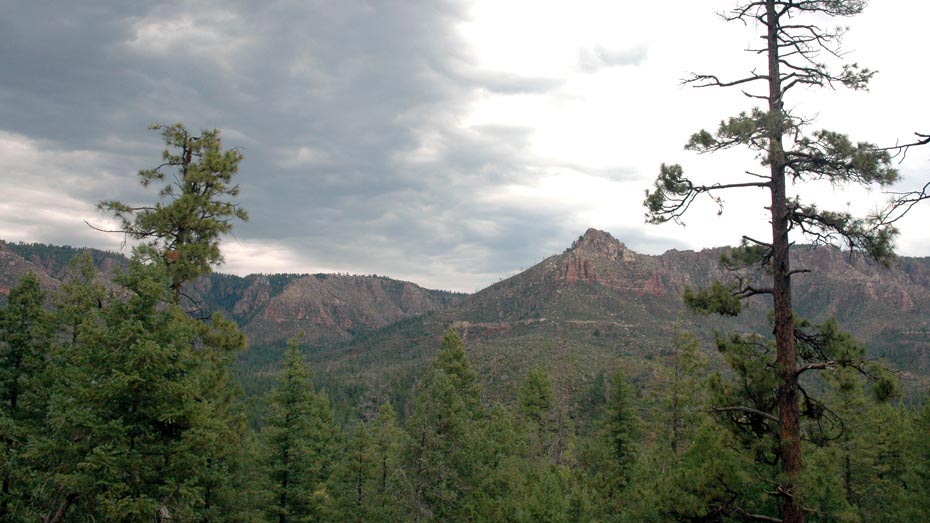
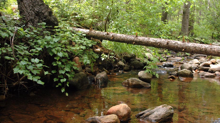
Following perennial Webber Creek under the shade of tall pine forest toward the plateau above, East Webber trail includes some of the most pleasant and scenic hiking under the Mogollon Rim.
After a short stretch on the Highline Trail from the Geronimo trailhead, the first several miles follow the wide, smooth, and generally flat Geronimo Trail against the lower eastern slope of Milk Ranch Point. The path then turns back to the northeast, crosses West Webber Creek and joins the East Webber Trail.
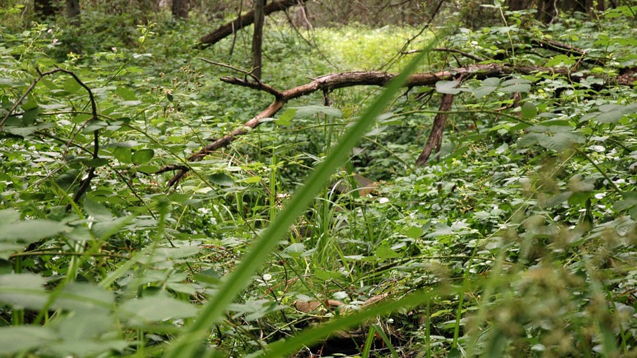
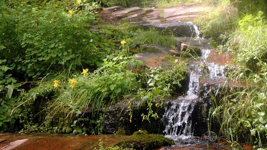
Approaching the creek from the west, lush scenery and frequent creek crossings make East Webber Trail its own destination. Climbing into the narrowing canyon to the north, the trail is overgrown in some sections and becomes progressively steep and faint. Beyond the spring, the creek bed leads up through the remaining canyon and over the rim.