Pass Mountain
Usery Mountain Regional ParkPass Mountain Trail, Windcave Trail
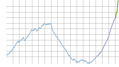
Distance: 8.7 | Total Elevation Gain: 2360
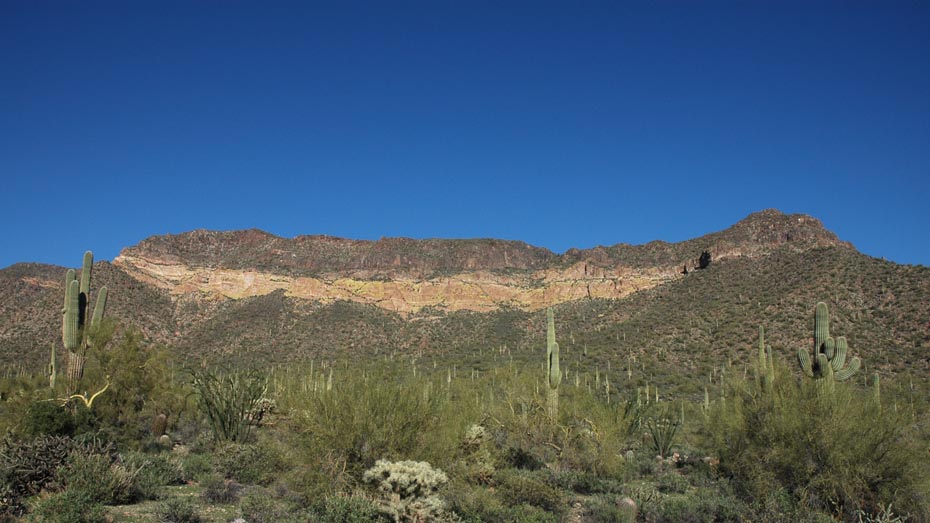
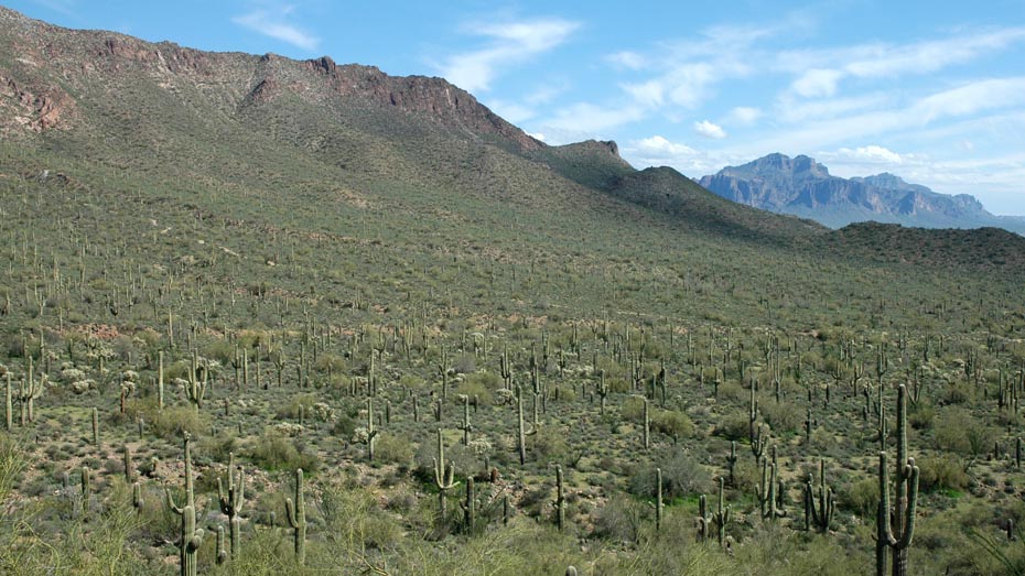
Although the central portion of Usery Mountain Regional Park features a compact network of highly accessible trails, much of the most rewarding route travels outside the park. Extending northeast into the Tonto National Forest, the Pass Mountain trail is an easy loop route that opens up great views to the northeast. The saddle between Pass Mountain and the Goldfield Mountains marks both the highpoint and halfway point of the loop.
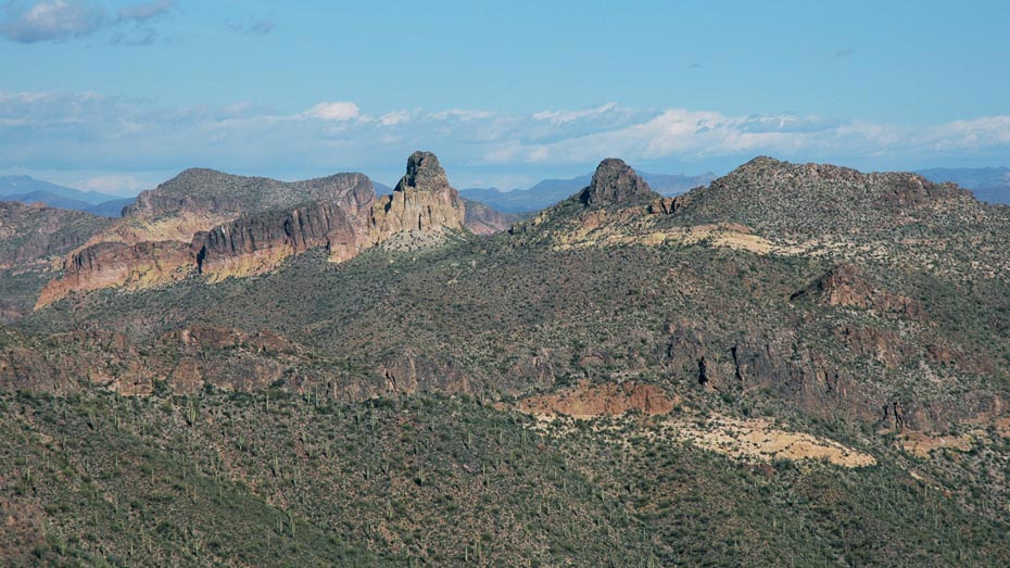
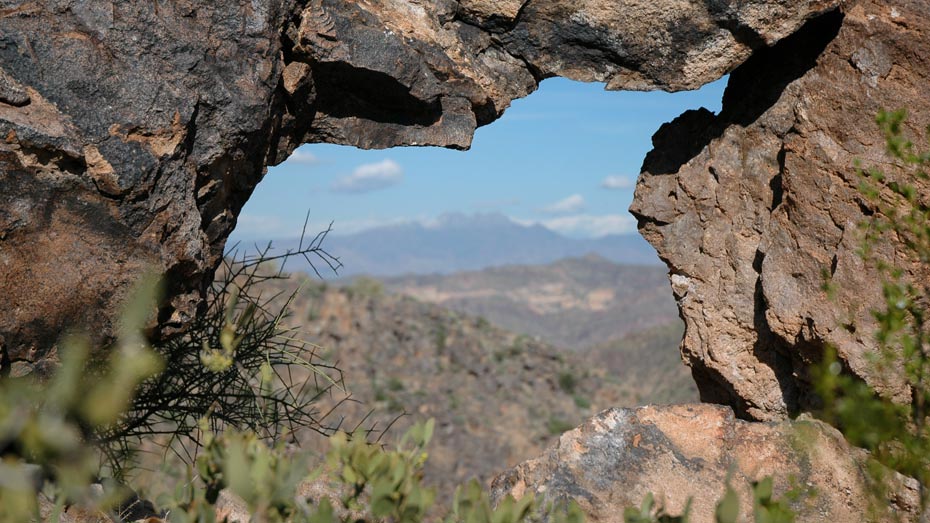
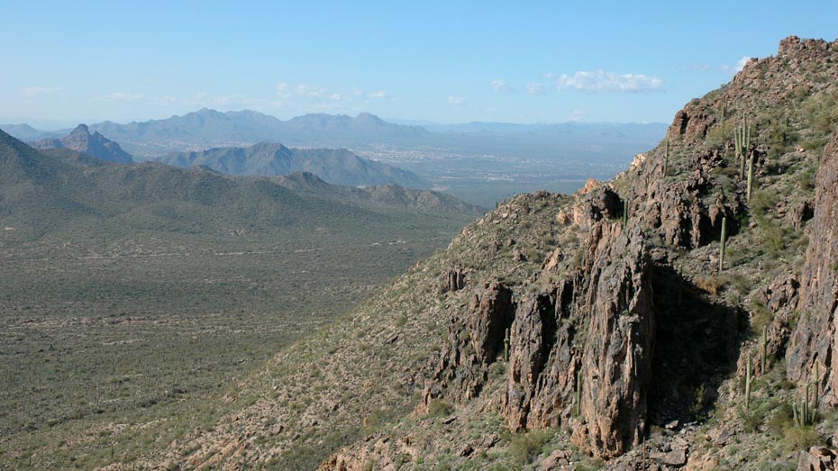
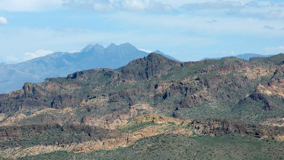
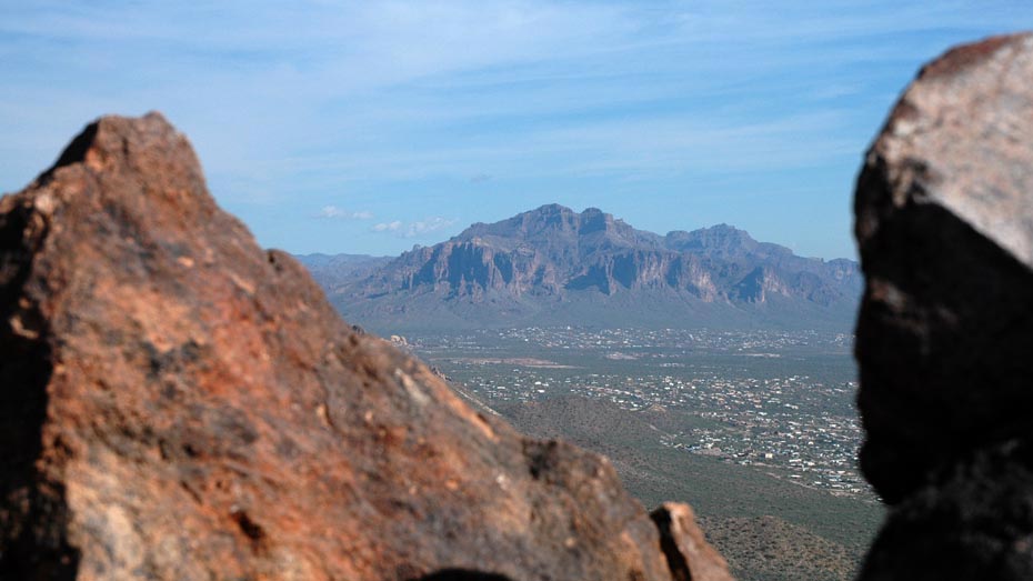
Once back on the west side of Pass Mountain, the Windcave Trail is a short, pleasant hike up to a rock overhang with a shady view of metro Phoenix to the west. A quick scramble further, up to the ridge of Pass Mountain, delivers the real payoff: a 360 degree view including excellent views to the east of the Goldfield Mountains, the Superstitions, and the Four Peaks.