Western South Mountain Loop
South Mountain ParkAlta Trail, Bajada Trail, Ranger Trail, National Trail
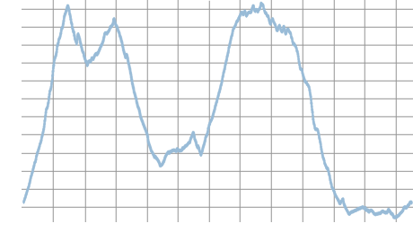
Distance: 12.4 | Total Elevation Gain: 3220
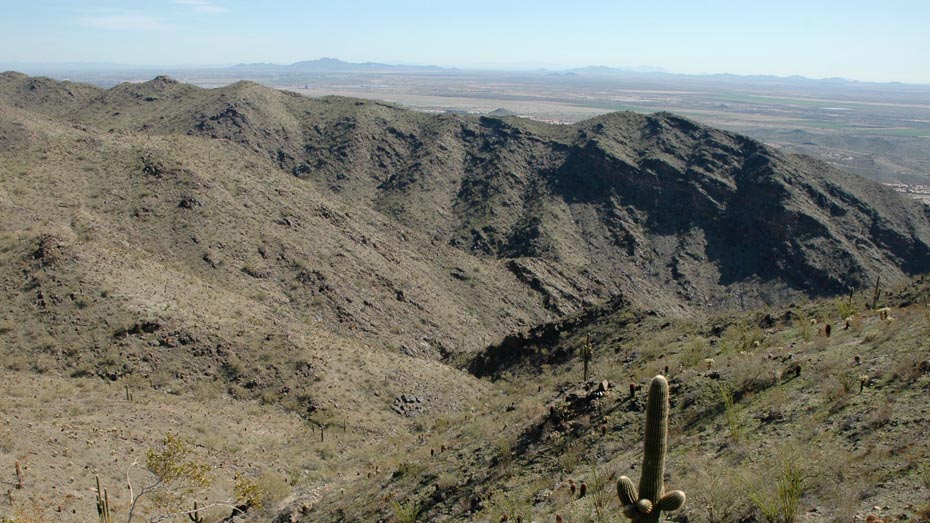
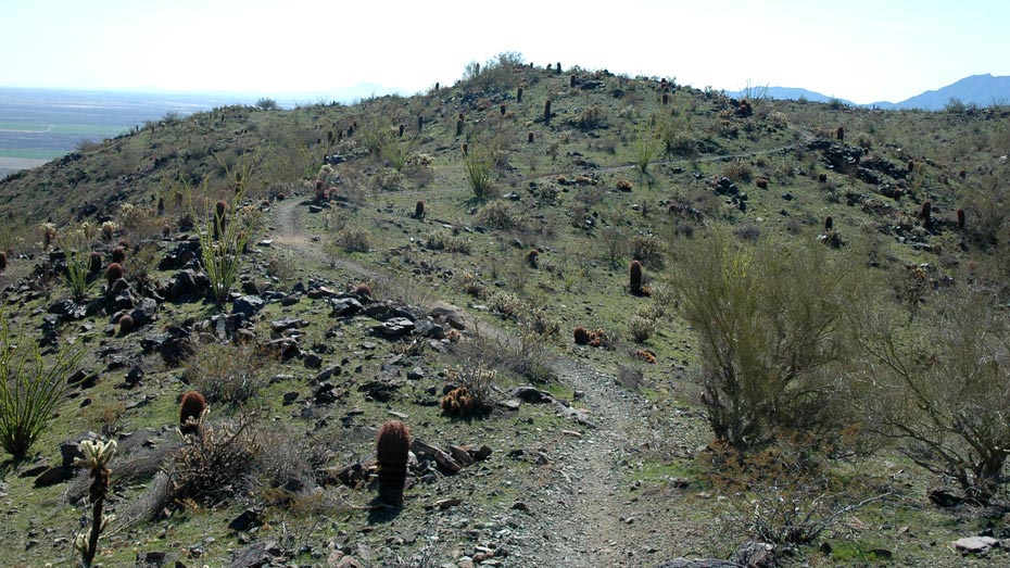
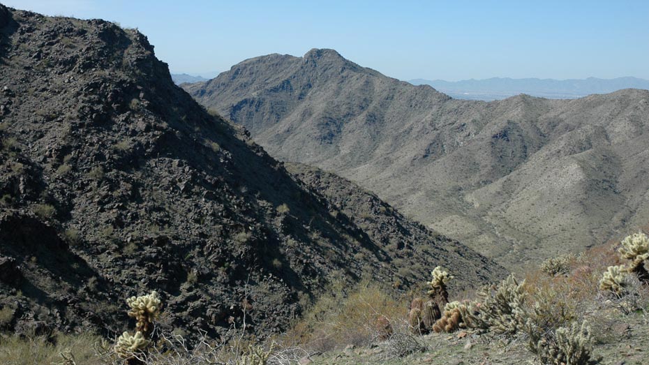
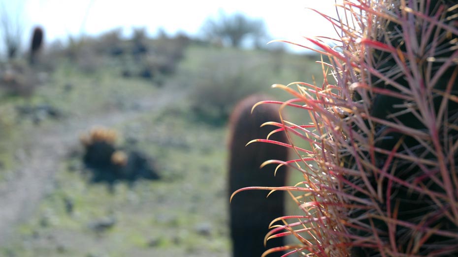
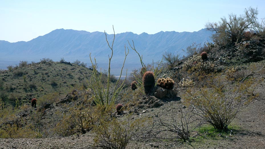
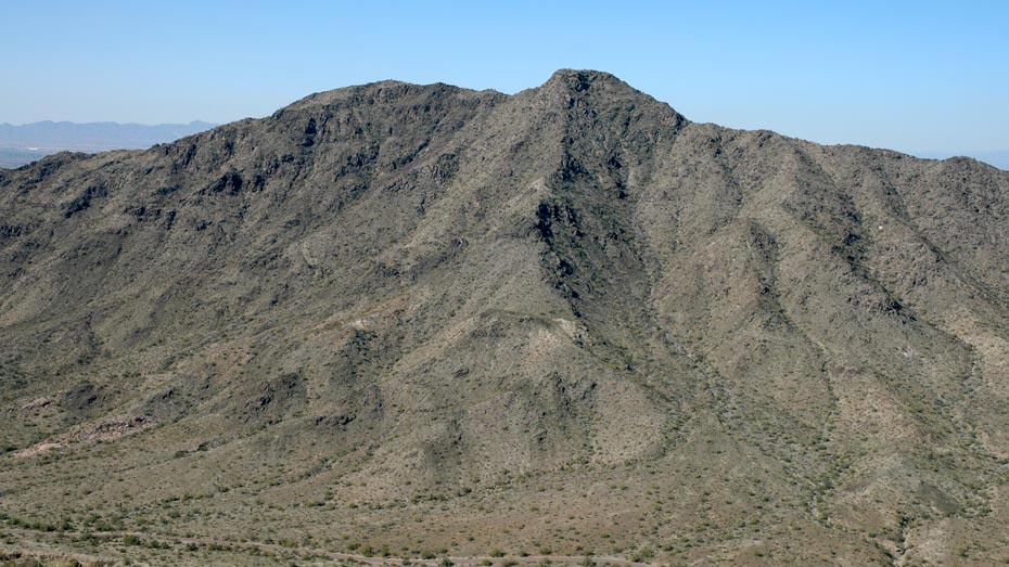
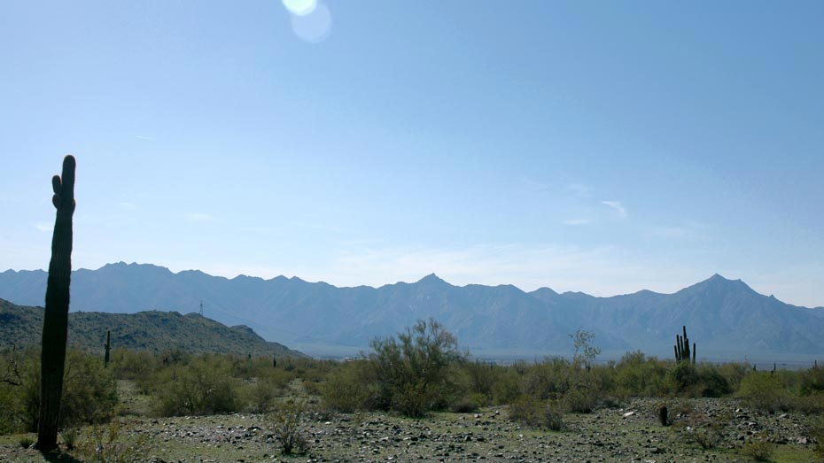
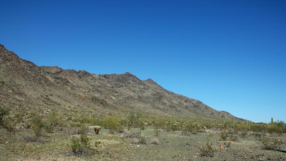
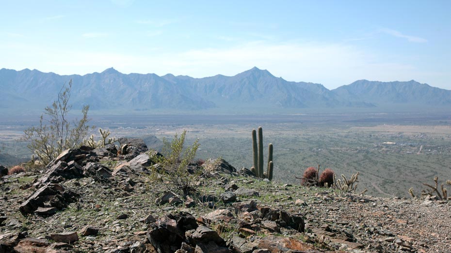
This loop follows segments of four trails, traveling up, along, and down the ridge lines of the Ma Ha Tauk and Gila ranges and through each end of the valley in between. Somewhat less popular than other areas, the west end of the park and the Alta trail in particular offer peaceful hiking and excellent views of the Sierra Estrella Mountains further west.
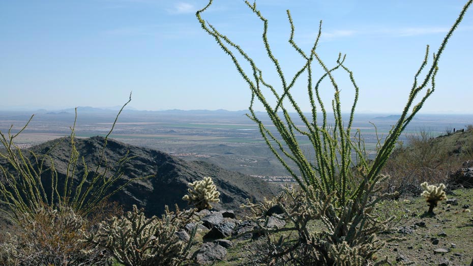
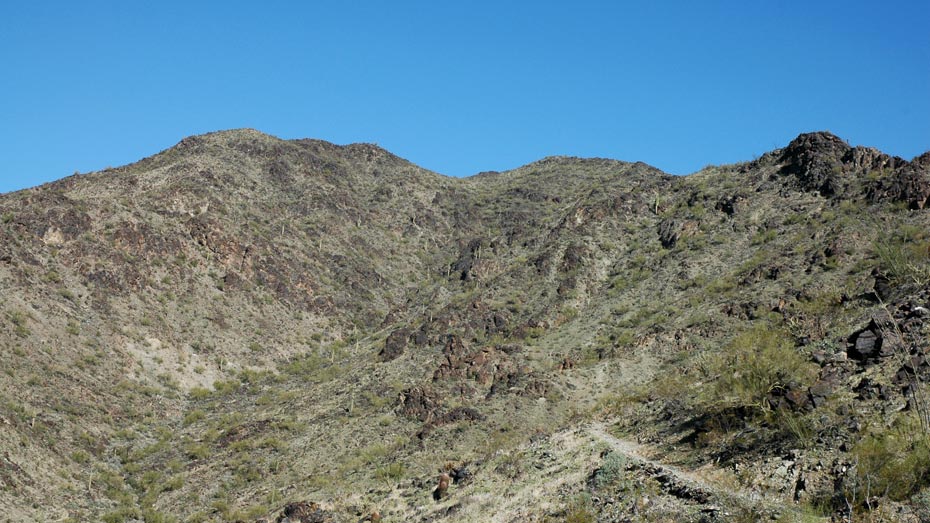
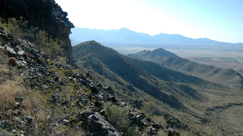
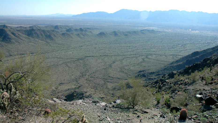
Starting clockwise from the San Juan Lookout, the trail immediately begins the more challenging of its two climbs. Passing just north of Maricopa Peak, the path loses some elevation before gaining it back again to cross over the ridge line and descend down into the valley. Connecting with the Bajada and Ranger trails, the path then climbs to follow the next ridge line to the south. The following portion of the National Trail is one of the most pleasant sections of hiking in the park, with a smooth trail and distant views, including Picacho Peak 63 miles to the south.