Humphreys Peak (151)
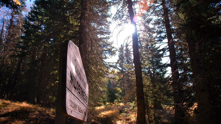
Kachina Peaks WildernessDistance: 4.8 | Total Elevation Gain: 3500

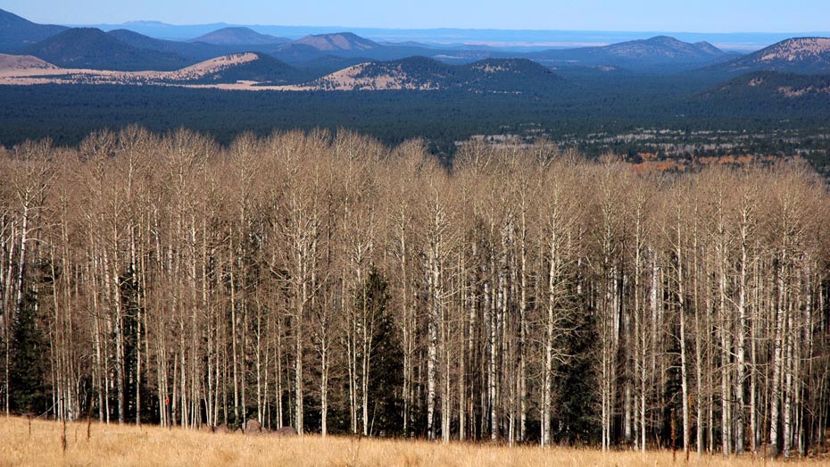
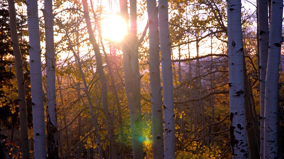
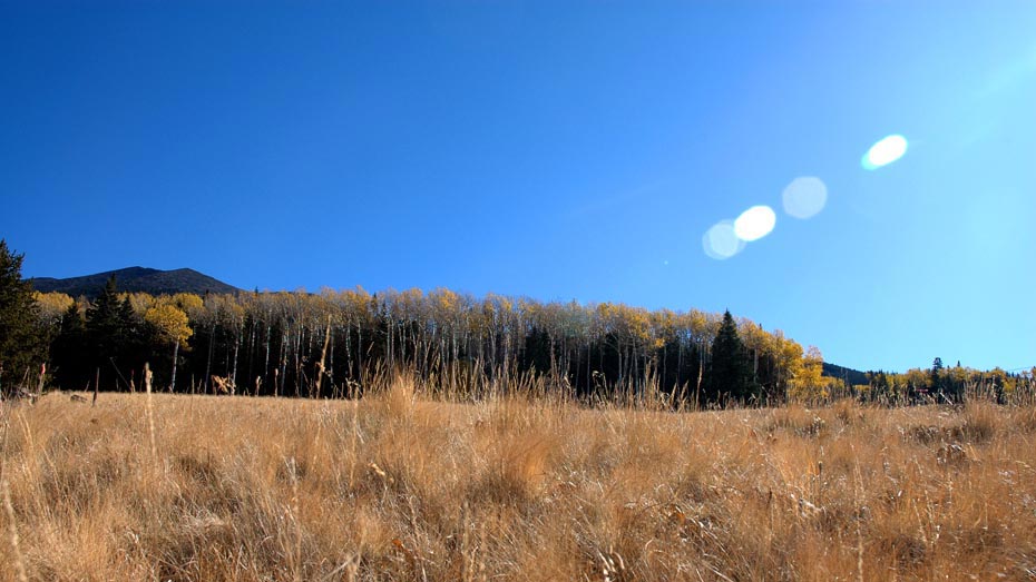
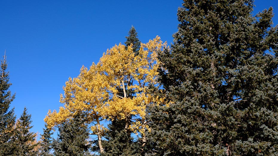
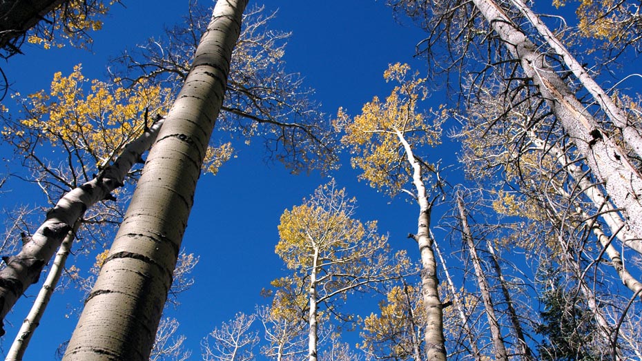
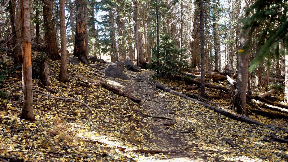
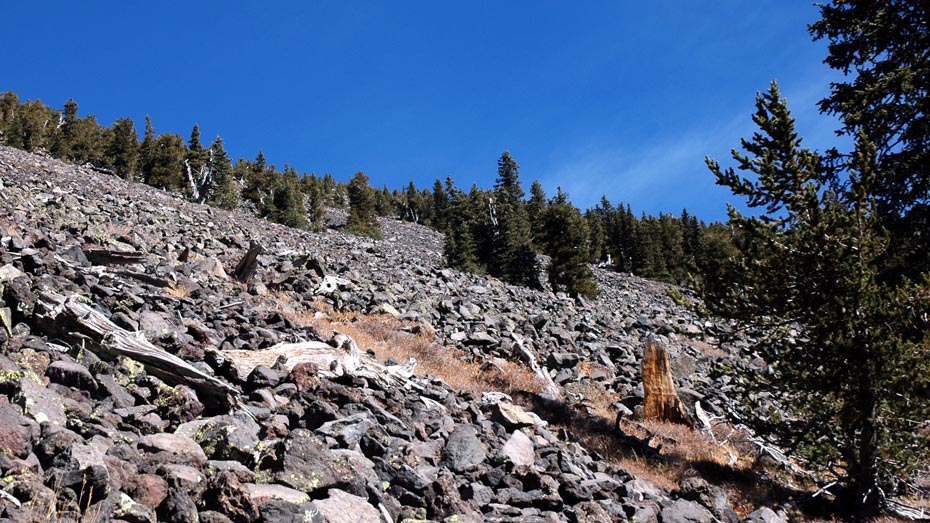
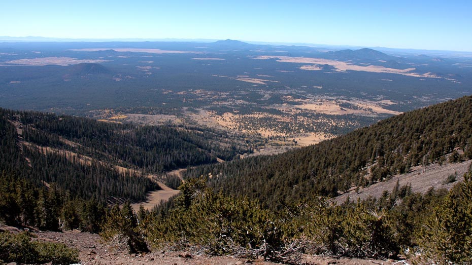
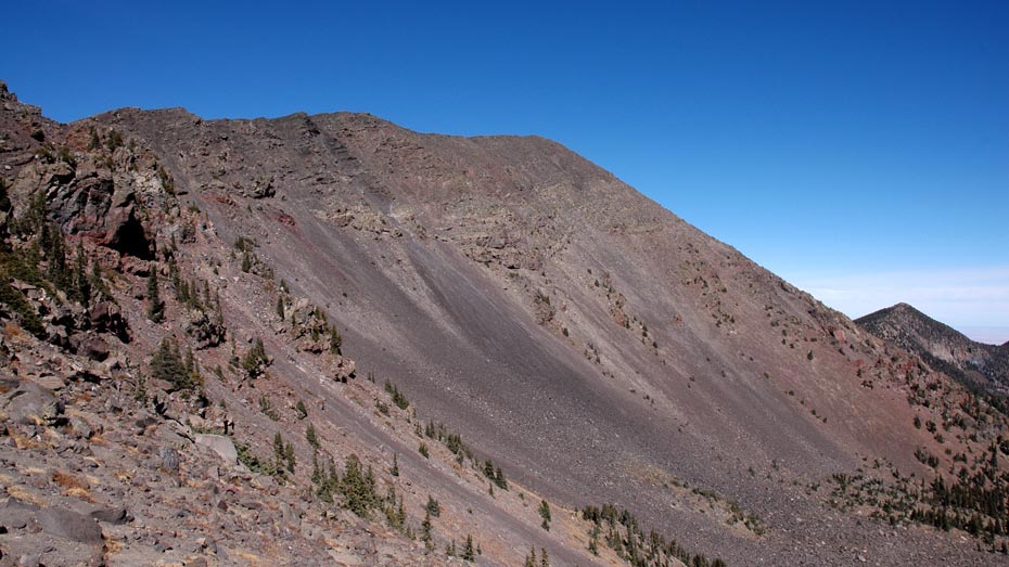
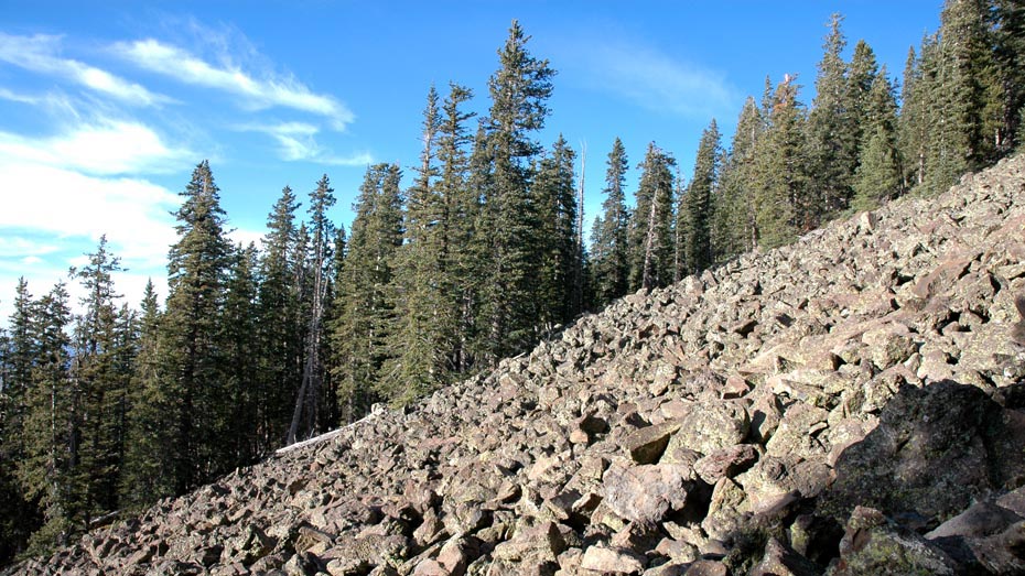
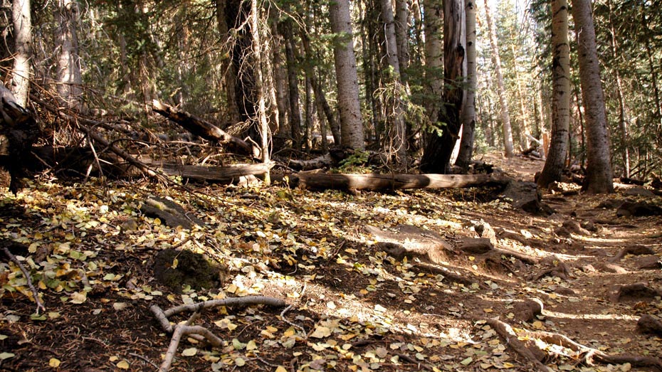
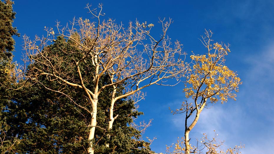
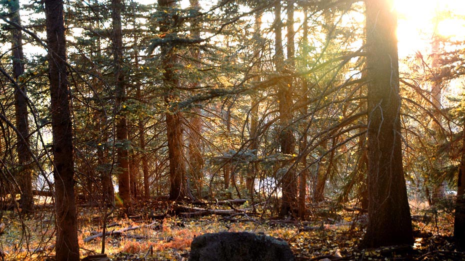
This hike illustrates one far end of Arizona's diversity, delivering visitors to two square miles of alpine tundra above the 11,500 ft. tree line and the peaks around the volcanic caldera. Humphreys trail is the shortest route to the summit and manages the elevation gain well, climbing steadily for the entire distance. The trail is a smooth path for the first several miles becoming rougher as elevation increases, but with minimal rocky sections.
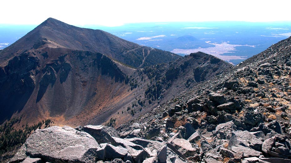
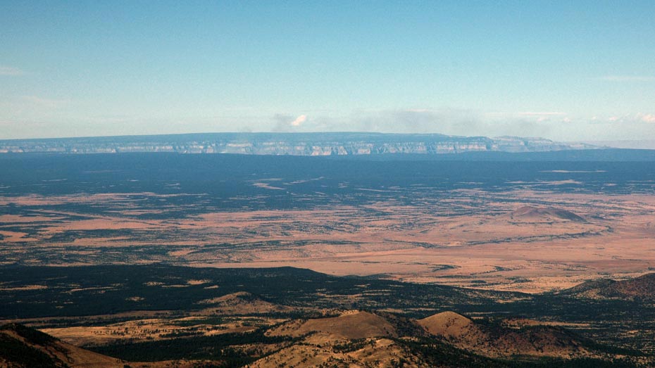
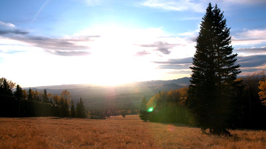
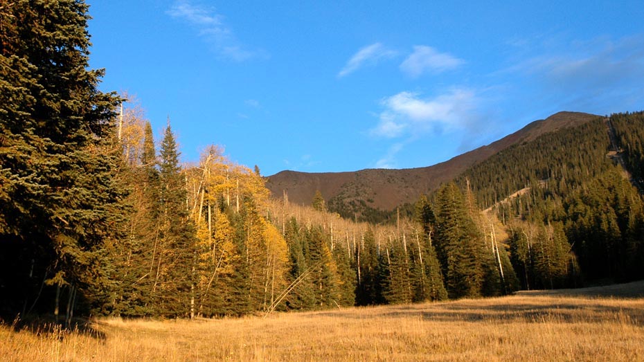
Beginning at over 9,000 ft., the views are great from the start and become less obstructed as the trail climbs. Reaching the ridge opens the view to the east, down into the basin of the caldera and Lockett Meadow beyond. The summit offers a panoramic view, including the north rim of the Grand Canyon peeking over the north-western horizon more than sixty miles away. Humphreys Peak is a great hike with a unique payoff for the Arizona hiker.